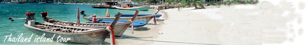

 Samui Island
General Information of Samui Island
The island was probably first inhabited about 15 centuries ago, settled by fishermen from Malay Peninsula and Southern China.
It appears on Ming Dynasty maps dating back to 1687, under the name Pulo Cornam. The name Samui is mysterious in itself. Perhaps it is an extension of the name of one of the native trees, mui, or it is a corruption of the Chinese word Saboey, meaning "safe haven".Until the late 20th century, Samui was an isolated self-sufficient community, having little connection with the mainland of Thailand. The island was even without roads
until the early 1970s, and the 15km journey from one side of the island to the other involved a whole-day trek through the mountainous central jungles. Today, Samui has a population of about forty-five thousand, and lives on a successful tourist industry, as well as exports of coconut and rubber. It even has its own international airport, with flights daily to Bangkok and other major airports in Southeast Asia. While the island presents an unspoiled image to
the public perception, economic growth has brought not only prosperity and changes to the island's environment and culture, a source of conflict between local residents and migrants from other parts of Thailand and other countries.
Geography
Samui is located in the Gulf of Thailand, about 35km northeast of Surat Thani town(9°N, 100°E). It is surrounded by about sixty other islands, most of which comprise the Ang Thong National Marine Park, but also include other tourist destinations Ko Pha Ngan,Ko Tao and Ko Nang Yuan.The island is roughly circular in shape, and is about 15km across. The central part of the island is an (almost) uninhabitable mountain jungle (peak Khao Pom, 635m) and the
various lowland areas are connected together by a single road, that covers the circumference of the island. There is one town, Na Thon, on the west coast of the island, with a major port for fishing and inter-island transportation. Each of Samui's many beaches is also nominally considered a town, due to the number of hotels, restaurants and bars that have sprung up in recent years
How to go
By plane : Bangkok Airways and (Berjaya Air) are the only public airlines currently serving Ko Samui Airport (USM) private planes are accepted with advance notice. Bangkok Air has near-hourly departures to/from Bangkok; tickets are expensive by Thai standards, but advance bookings can be tolerable (around 2000B), which a walk-in booking may be twice as much. There are also daily flights to/from Phuket for 2200 baht, U-Tapao, and Singapore; four direct
flights a week from Chiang Mai (but no direct flights in the opposite direction); and twice weekly flights to/from Hong Kong and Kuala Lumpur (Berjaya Air). Air cargo services from both airlines are also available. Ground transportation from the airport is readily available. A seat in a minibus for the 20-minute ride to Chaweng costing 100 baht/person; a faster taxi will cost 150-300 baht. Be sure to negotiate the rate to your destination before you get into the taxi since
many drivers refuse to use their meters. A cheaper but less convenient option is to fly to Surat Thani or Chumpon and connect by road and then ferry. By boat : Numerous ferry services direct from mainland Surat Thani include an express boat and slow night boats
(taking6-7 hours).Lomprayah offers a combined bus/high speed catamaran ferry service from Bangkok to Ko Samui which takes about 11 hours . The bus pauses in Hua Hin and then stops at Chumphon where it connects with the ferry, which calls atKho Nang Yuan, Ko Tao and Ko Pha Ngan on its way to Ko Samui. The buses and ferry are air-con and very comfortable. From Surat Thani train station, combined bus/ferry services to Ko Samui - some entail a 60 minute bus ride followed by a 90 minute ferry crossing, others a 30 minute bus ride but longer on the ferry.
Tickets are sold by numerous agents who meet each train.
ไม่มีความคิดเห็น:
แสดงความคิดเห็น